

More from John Grenham
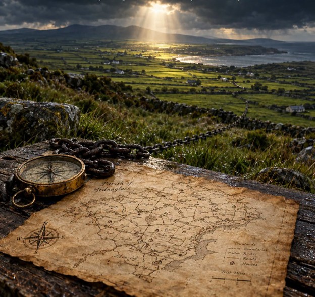
John Grenham continues to be a miracle worker. He has successfully layered the Irish townland map onto the civil parish map, standardized location names and made it all clickable!
As he says, "What this means is that for 98% of townlands in rural Ireland, you can now click through to the universally relevant records from the 1850s to the 1920s, while seeing the location of each townland in relation to its neighbours."
Fantastic! Read more at his Sept 5 blog posting.